Click on the thumbnails to see a larger image.
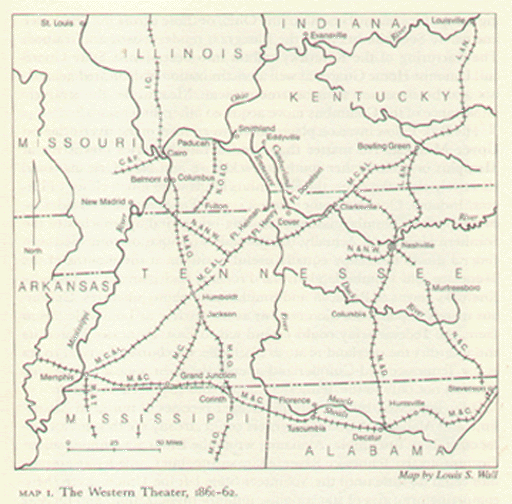
The Western Theater, 1861-62
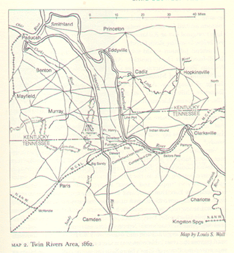
Twin Rivers Area, 1862

Interior of Fort Henry, the morning after its capture, February 2, 1862. Sketch by H. Lovie, Frank Leslie's Illustrated Newspaper, March 15, 1862.
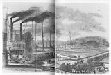
Landing of Federal troops below Fort Henry, February 4, 1862. Sketch by H. Lovie, Frank Leslie's Illustrated Newspaper, March 15, 1862. (I apologize for the center crease of the book spine.)
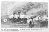
Foote's Flotilla Attack on Fort Henry, February 6, 1862. Sketch by S.O. Hawley, Massachusetts Order of Loyal Legion Collection, U.S. Army Military History Institute.
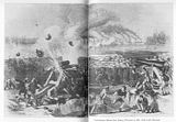
Confederates defend Fort Henry, February 6, 1862. Frank Leslie's Illustrated Newspaper, March 1, 1862. (I apologize for the center crease of the book spine.)
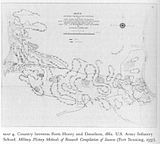
Country between Forts Henry and Donelson, 1862. U.S. Army Infantry School. Military History Methods of Research Compilation of Sources (Fort Benning, 1937).

Environs of Fort Henry, 1862. U.S. Army Infantry School. Military History Methods of Research Compilation of Sources (Fort Benning, 1937).


No comments:
Post a Comment