A good portion of Paris Landing Park is cordoned off due to the severe flooding. Areas that are usually packed with tourists and picnicking locals must be roped off because of the deep water that is covering them. Not only is the water very deep but it is also filthy and littered with debris. Poisonous snakes are also in the water. The water poses a huge safety hazard and state officials have taken every possible measure to protect park visitors.
You can click on the thumbnails for larger images.
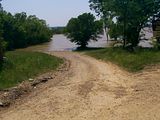
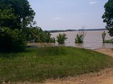
Both of the following pictures were taken at Gray's Landing. Gray's Landing is an informal boat ramp of sorts. Boaters can back their boat trailers into the water and put their boats in the lake from here. The dirt ramp is much longer than in these photos. You can see the Ned McWherter Bridge (Paris Landing bridge) in the background of the second photograph.
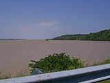
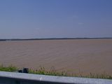
The next two photographs show the lake level from Highway 79. Usually, the water is several feet below the guard rail. Fishermen often stand on the bank and the rocks there to fish. The water level is so high right now that they cannot do that.
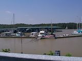
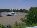
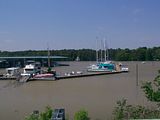
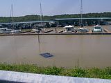
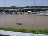
The following five photographs are of the Paris Landing Marina. The first three photos were taken from Highway 79, as was the fifth photograph. The fourth was taken inside the Marina entrance near the information station. The light poles are half submerged in water and virtually all of the walkways leading to the boats are under water. There is always a United States Coast Guard vessel at Paris Landing. It can be seen in the right middle of photographs 1-3 between the boats and the blue/green roof. The last photograph shows the marina and someones SUV in the marina parking lot that is almost entirely covered by the flood waters.
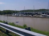
The following two pictures were taken from Highway 79 overlooking the Paris Landing State Park Marina. There is a dark blue vehicle almost completely submerged in the flood waters. When I first saw the car I could see there was something on the roof but I couldn't quite make it out. When I got a bit closer I could finally see what was on the roof. At the very least, ten to fifteen turtles were taking a break from the flood waters on the roof sunning themselves. Some of the turtles were small and clustered in around the larger turtles but about five of them were almost as large as dinner plates. It's kind of hard to see the small turtles in the photo but they're there! As my car pulled away from the railing, I could see a couple of the large turtles jump off the roof of the car and into the water and start swimming. As disastrous as this flood is, that was a sight I greatly enjoyed. In all this mess, filthy water and looming mosquito problem come summer these little guys were having a ball. The three dark spots in the muddy water at the left of the vehicle are turtles that were already in the water swimming.
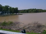
This photograph was taken from Highway 79 and shows the lake entrance to the marina. A limestone structure currently being built by the park service to control water traffic is underwater. Its shadow can be seen just in front of the trees near the center of the photograph. To the left, you can see the old Paris Landing bridge that is on display and the road that circles around it to the marina parking lot. That area is blocked off due to the flooding.
This photograph was taken at the entrance to the marina by the information station off of Highway 79. There is usually a much larger grassy area and a large parking area that can be seen from here.
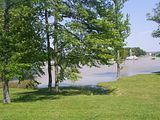
Both of the next two photographs show the entrance to the marina parking lot that is completely flooded. The sign that you can barely see in the first photograph says "Absolutely No Alcoholic Beverages Allowed".
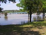
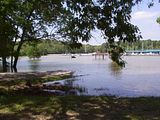
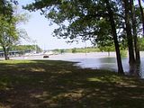
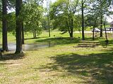
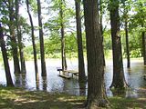
The following three photographs were taken in a picnic area on the marina side of the park. As you can see, the water is so high that half of the tables and grills are inaccessible. The ducks that live at the park are most certainly enjoying all the water they have to play in right now.
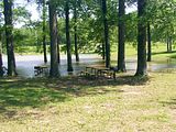
The following photograph is a concrete boat ramp that is located on the "lodge side" of the park. The ramp extends down past the sign that is almost covered by water in the center of the photograph.
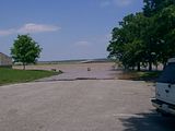
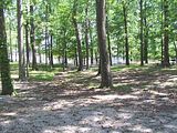
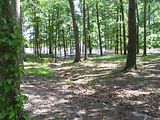
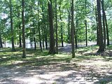
The following three photographs were taken on the "lodge side" of the park. The area you are seeing here is usually full of tourists and locals spending the day having picnics, family get togethers or just spending a relaxing afternoon outdoors. Joggers also frequently use this area. The park rangers have most of it cordoned off.


No comments:
Post a Comment